Free & Pro
3D Maps & navigation
Put the route in context.
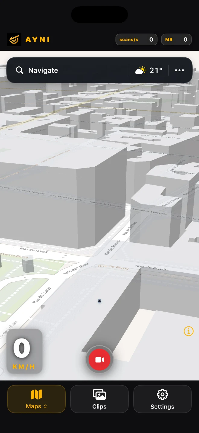
Mapped roads and buildings, approximate detected objects, destination search and weather share one driving view.
Street context
Roads and buildings come from map data, with coverage depending on the area. Supported camera detections are placed approximately in that context. The map is not a camera-built model of every visible facade.
A view that adapts
The map moves closer at lower speed and smoothly opens out as speed increases. Pinch to adjust, explore by panning or rotating, and use the recenter control to return to the driving view.
Plan before setting off
Search for a destination and open weather from the map controls before you drive. Map loading, destination search, routing and weather use online services. These network features are separate from the on-device detection and local recording.
Read the guide ↗